🗺️ 2 new illustrated maps, published by the Tourist Office!
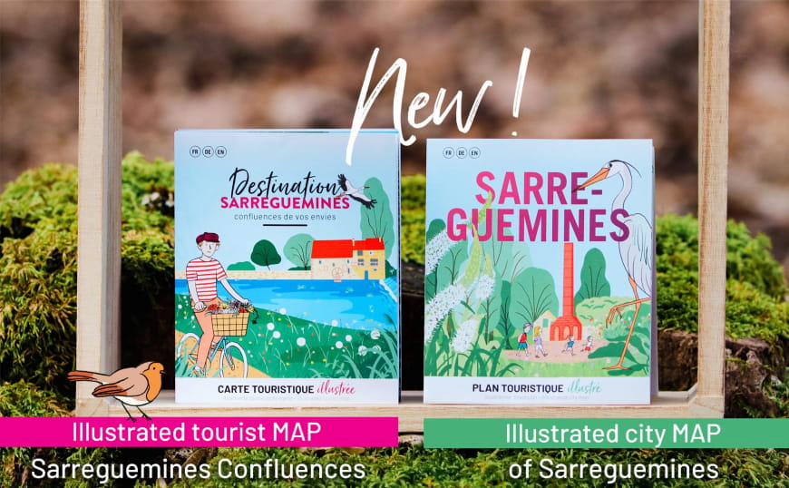
2 new documents have been added to the range of information available to our visitors: the illustrated tourist map of Sarreguemines Confluences & the illustrated tourist map of Sarreguemines!
Destination Sarreguemines ConfluencesThe illustrated tourist map
To (re)discover the destination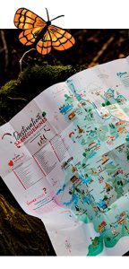
To help you explore all the facets of the region, there are a number of themes on the map: An irresistible desire for water, In the heart of nature, In search of discovery, When night comes…
Overleaf, 5 must-sees suggested by the Tourist Office team will give you ideas for outings and excursions by bike or on foot, along the water, as you please.
49 points of interest illustrate the destination’s tourist attractions, most of them linked by cycle routes that will delight walkers and hikers alike!
Discover the map
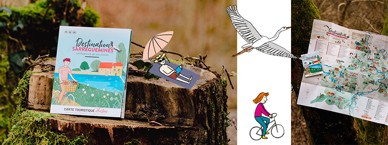
The illustrated city map
To keep the essentials in your pocket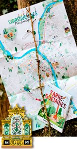
The essential tool for exploring the city and its two tourist circuits, the Faïence circuit and the historical circuit.
The map also details the town’s key points, the marina, the Tourist Office, the museums and the places to go with the family, so you won’t miss a thing during your visit!
And for those who like to take the time to get around on two wheels, the map shows the cycle paths and cycle parking areas.
Discover the map
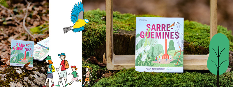
The tourist map Sarreguemines Confluences and the city map of Sarreguemines are available free of charge in hard copy from the Sarreguemines Confluences Tourist Office or can be ordered free of charge from our website:

These two materials were co-financed by the European Union with financial support from the LEADER programme of the Pays de l’Arrondissement de Sarreguemines.
Translated with www.DeepL.com/Translator


